Mathison Conservation Area - Come and enjoy our trails!
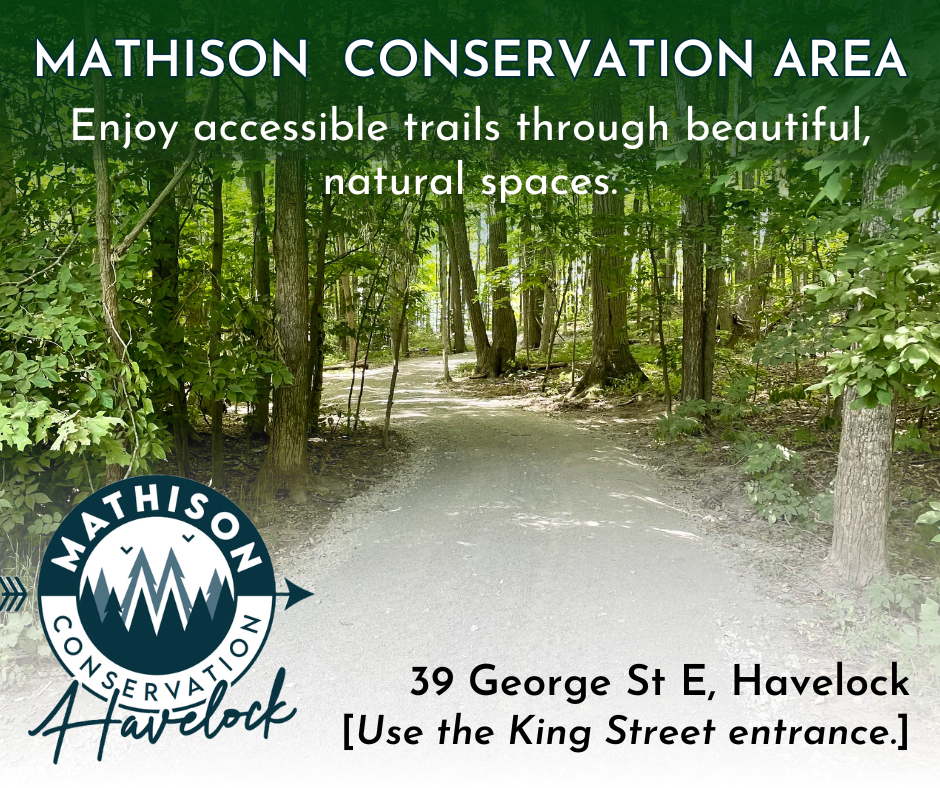
Enjoy our accessible trails through beautiful, natural spaces
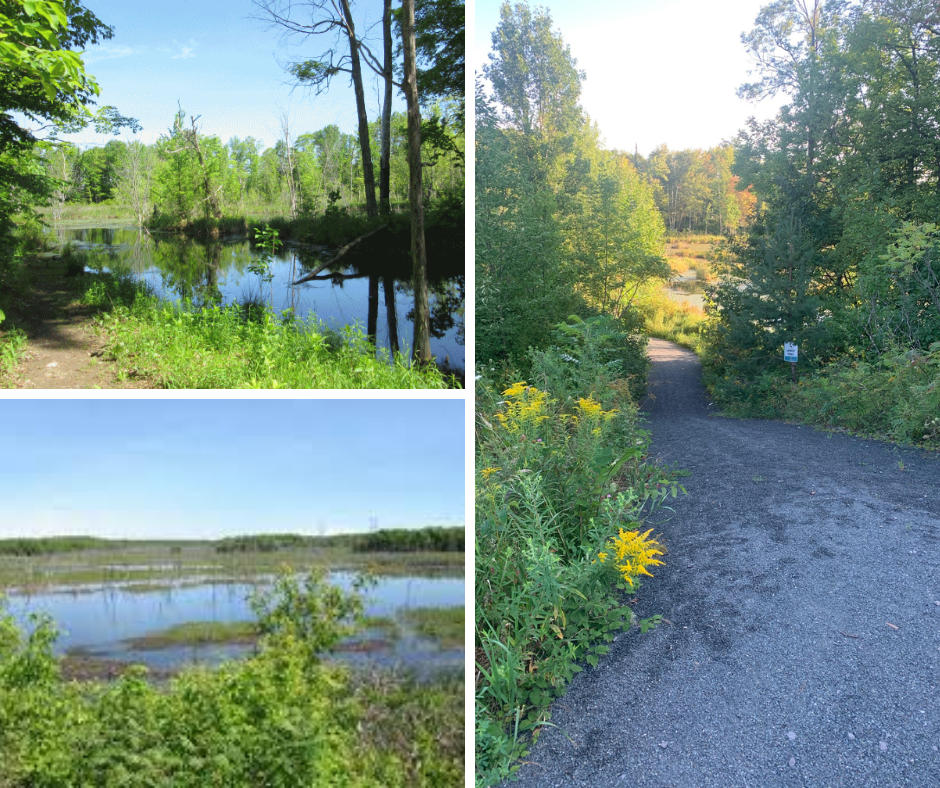
The Mathison Conservation Area main trail head and parking area are located behind the HBM Community Centre (access via King Street) with Havelock. Mathison Conservation Area was established in 2001 through a bequest from the John Mathison family. The 100-hectre property supports mature upland deciduous forest dominated by sugar maple, numerous wetlands and ruderal old fields. There is ample parking at the trailhead.
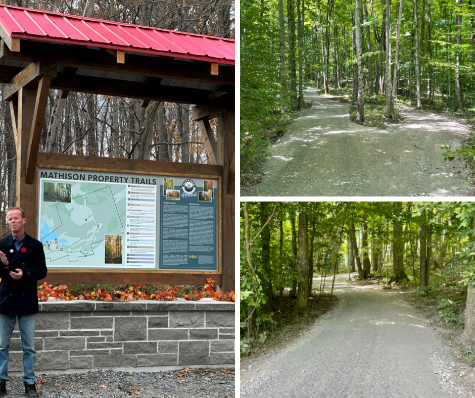
TRAIL SYSTEM CHARACTERISTICS
Length: 10 trails, each less than 1 km
Difficulty: Moderate (Trail classifications)
Trail surface: Smoothed, fine aggregate, and Natural
Trail use: Walking, hiking, and cycling
Accessibility Notes: Trails were rehabilitated in 2023 and are wheelchair accessible
Fees: None
Pets: Dogs are welcome, however must be on a lease and picked up after.
Link to Map (PDF): Mathison Trail Map
NOTABLE TRAILS
Mathison CA has a network of 8 walking trails totalling 2.7 km in length. The trails are wide and level and surfaced with limestone screenings, making for easy walking. There are many side paths to outlooks overlooking the extensive wetland.
TIPS FOR BIRDING & BIRDS OF INTEREST
Walking the extensive trail network at any time can be productive. Early mornings and evenings are best. The area hosts a wide variety of birds characteristic of upland deciduous forest and wetlands of the region. Notable breeding species include Red-bellied Woodpecker and Yellow-throated Vireo.
Subscribe
Back to News Search
Contact Us
1 Ottawa St. East, PO Box 10, Havelock, Ontario K0L 1Z0
Toll Free 1-877-767-2795
Phone: 705-778-2308
Fax: 705-778-5248
Email: havbelmet@hbmtwp.ca
Sign up to our Newsletter
Stay up to date on the township's activities, events, programs and operations by subscribing to our eNewsletters.